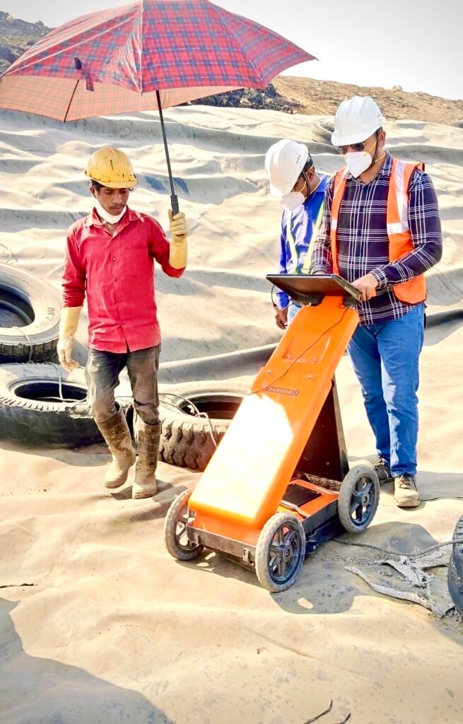
Advanced Geoelectrical Surveys
Advanced Techniques for Accurate Subsurface Profiling
At HCPL, we use cutting-edge Geoelectrical Surveys to accurately assess subsurface structures and identify potential groundwater sources. Our comprehensive approach employs two powerful techniques—Ground Penetrating Radar (GPR) and Resistivity Imaging (ERI)—to offer in-depth insights into the subsurface geology and aquifer properties.
Ground Penetrating Radar (GPR) for Shallow Subsurface Imaging
Ground Penetrating Radar (GPR) is a non-invasive geophysical technique that uses high-frequency radio waves to create real-time, high-resolution images of the subsurface. GPR is ideal for shallow groundwater exploration and can effectively detect:
Groundwater zones within shallow aquifers
Geological features and fractures
Cavity detection and rock formations
Depth to water-bearing layers
This method provides precise imaging, making it especially useful in areas requiring quick and non-invasive assessments.
Resistivity Imaging (ERI) for Comprehensive Subsurface Profiling
We use Vertical Electrical Sounding (VES) and 2D/3D Resistivity Imaging (ERI) techniques to determine the electrical resistance of the ground. These methods provide valuable data about the distribution and movement of groundwater by measuring the resistivity of soil and rock formations. Key benefits include:
Vertical Electrical Sounding (VES): Ideal for assessing vertical profiles of groundwater-bearing formations, helping us map aquifer depth and saturation levels.
2D/3D Resistivity Imaging: Allows for advanced subsurface visualization by creating detailed 2D or 3D images, enabling better understanding of aquifer extent and potential water resources.
These methods are particularly effective for deeper groundwater investigations and provide crucial data for groundwater management and resource sustainability.
Why Choose Our Geoelectrical Surveys?
Accurate aquifer mapping and identification of groundwater zones
Advanced imaging techniques for both shallow and deep groundwater exploration
Non-invasive and cost-effective solution for subsurface profiling
Comprehensive 2D and 3D visualizations for better resource management
Our Geoelectrical Surveys combine GPR and Resistivity Imaging to deliver precise, reliable, and actionable data to support your groundwater exploration projects. Whether for environmental studies, resource management, or infrastructure development, HCPL’s geoelectrical expertise ensures optimal and sustainable solutions.


